We headed out of Flagstaff for Bryce Canyon, with no specific schedule. Probably a good thing, since we changed time zones 3 times that day. Arizona is in Mountain Time, but does not observe daylight savings. The Navajo Reservation—in Arizona—does observe daylight savings. Then out of the reservation and back to Arizona before entering Utah, which does observe daylight savings.
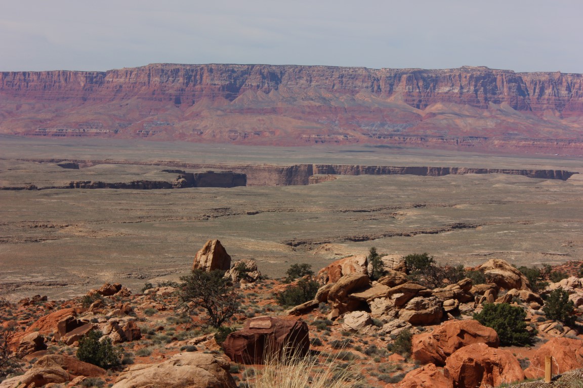
The plan was to arrive at Bryce in the evening so that we could start out in the morning to see the park. We had a long way to drive, but we stopped several times for on the spur of the moment. A large part of the drive was through the Navajo Reservation. If you want to look at a map, we drove up US 89 along the Echo Cliffs until US 89A split off, then followed 89A along the base of the Paria Plateau and the Vermillion Cliffs.
Most of the drive was quite barren but starkly beautiful and more wide open than most of us can imagine!
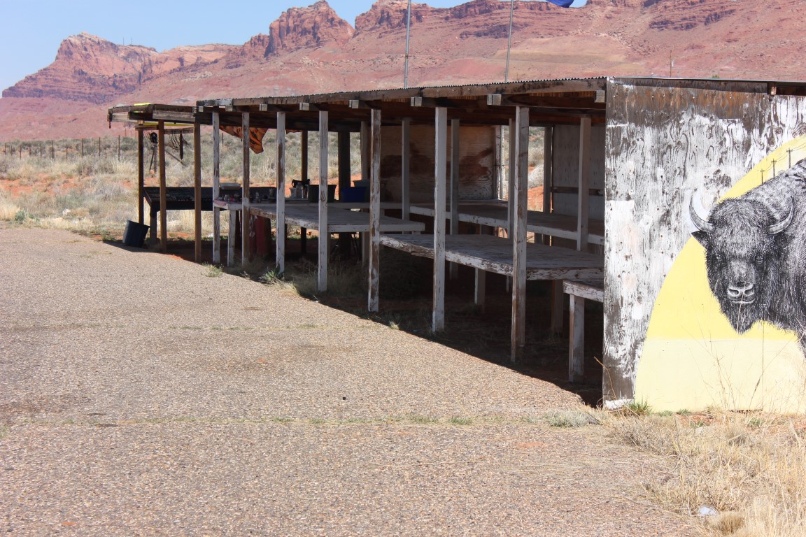
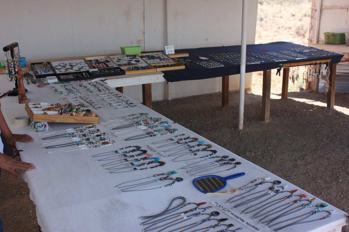
There are many little road side stands—similar to the fireworks stands we would see in Washington, where the Navajos would sell jewelry and pottery. We stopped at one to look at it up close and chatted with the woman who ran it. She had been a special education teacher, but when gas prices were high, she decided to try jewelry making to allow her to stay closer to home.
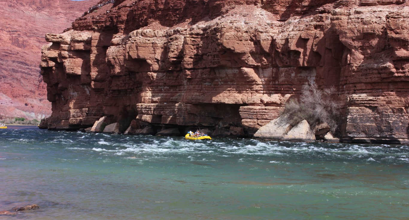
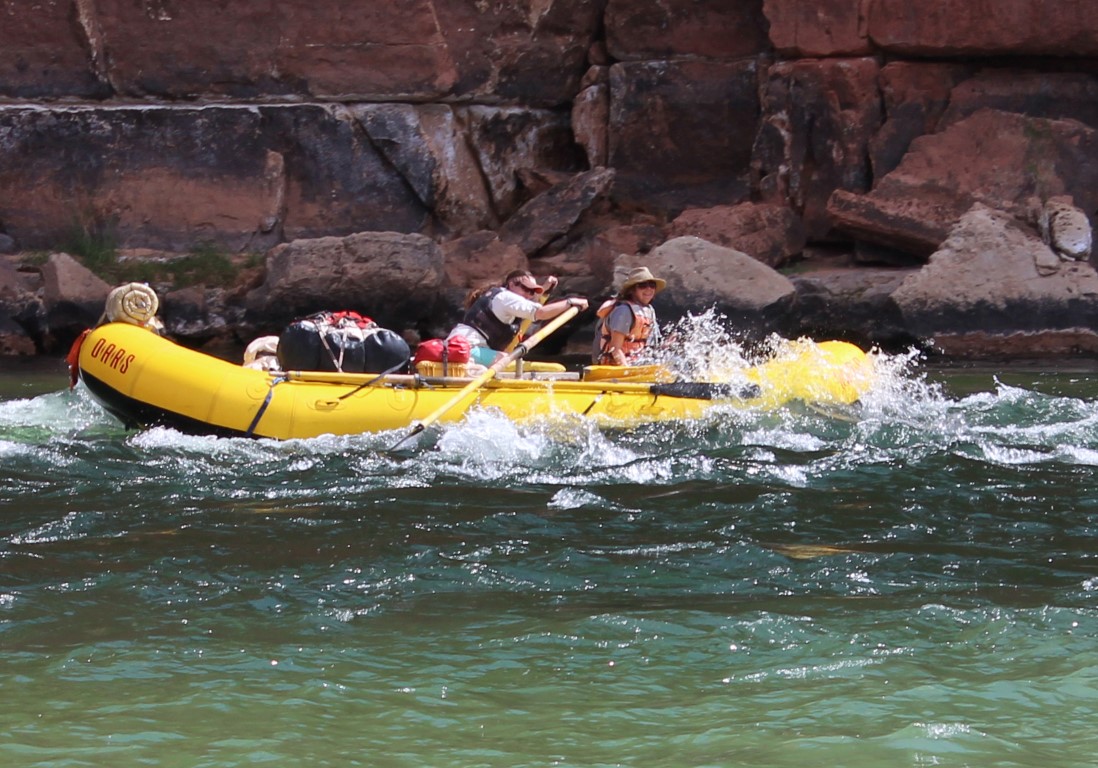
Our next stop was the Lee’s Ferry Historic Site. This is a spot on the Colorado River where many Grand Canyon rafting expeditions begin. It is actually the tip of Grand Canyon National Park, although the Canyon starts 70 miles downstream. We saw some rafters heading downstream and took pictures.
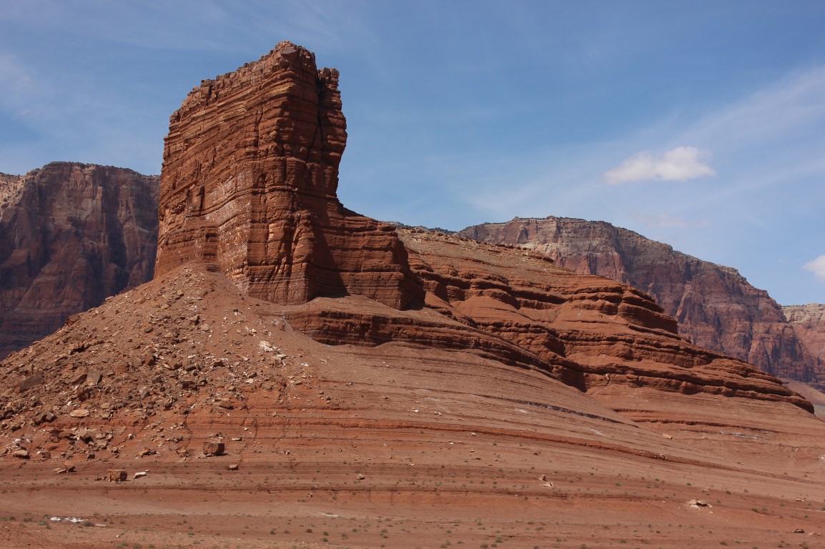
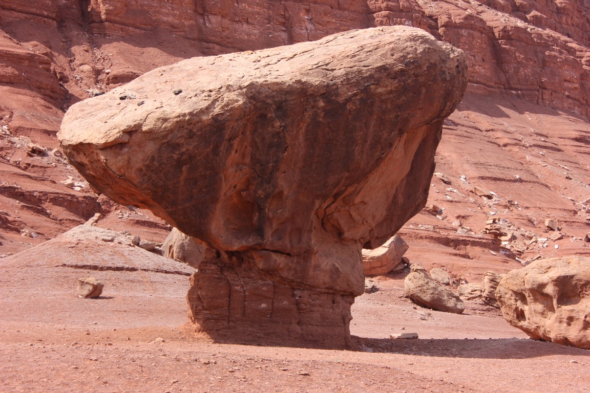
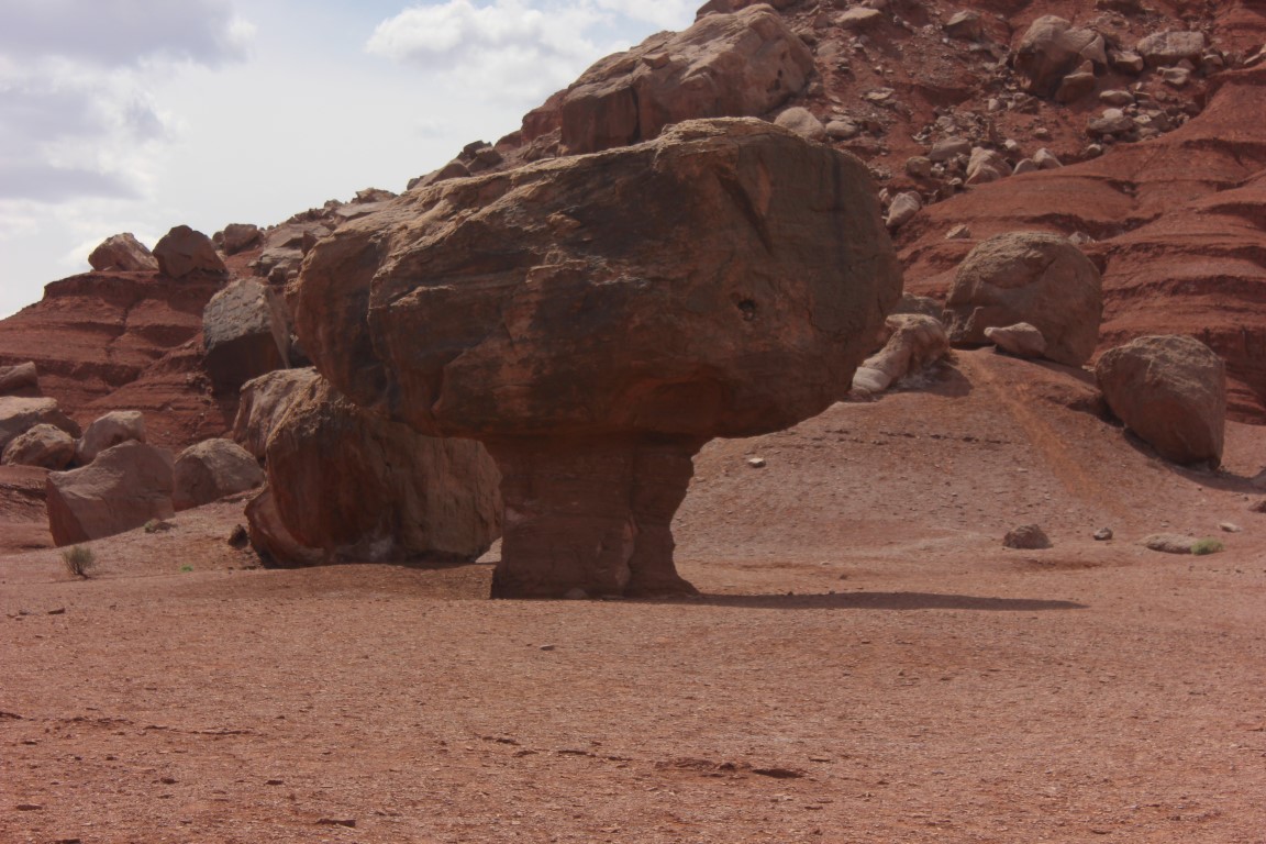
These are some rock formations we saw in the Lee’s Ferry Recreation Area. The last one looks like it could have been a creature from a Star Wars movie.
We headed for Kanab, where many western movies have been shot, but unfortunately, we arrived too late to see anything. We continued north, and on to Bryce Canyon.


